Iran Population Map
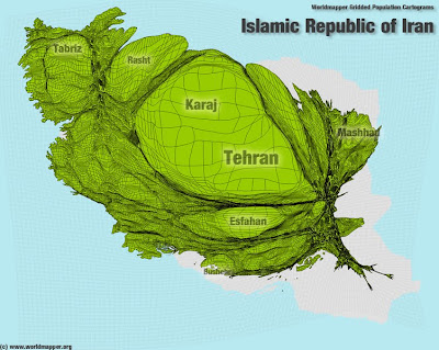
These new "cartogram" maps from Worldmapper graphically show the population density of Iran.
The largest bulge is around the capital Iran. The gray areas represent areas of low population density on the north of Iran and south east of the country.
The total population of Iran was estimated in 2008 at 65,875,224.
Click on the map to enlarge it.

© Copyright 2009 SASI Group (University of Sheffield)
